Tag Archives: pluvial

Observing and predicting coastal-urban flooding

PI Philip Orton

Funding program: Mid-Atlantic Regional Association of Coastal Ocean Observing Systems (MARACOOS) project “Strengthening Mid-Atlantic Infrastructure, Data Products and Services”

Project Period: February 2023 – January 2028

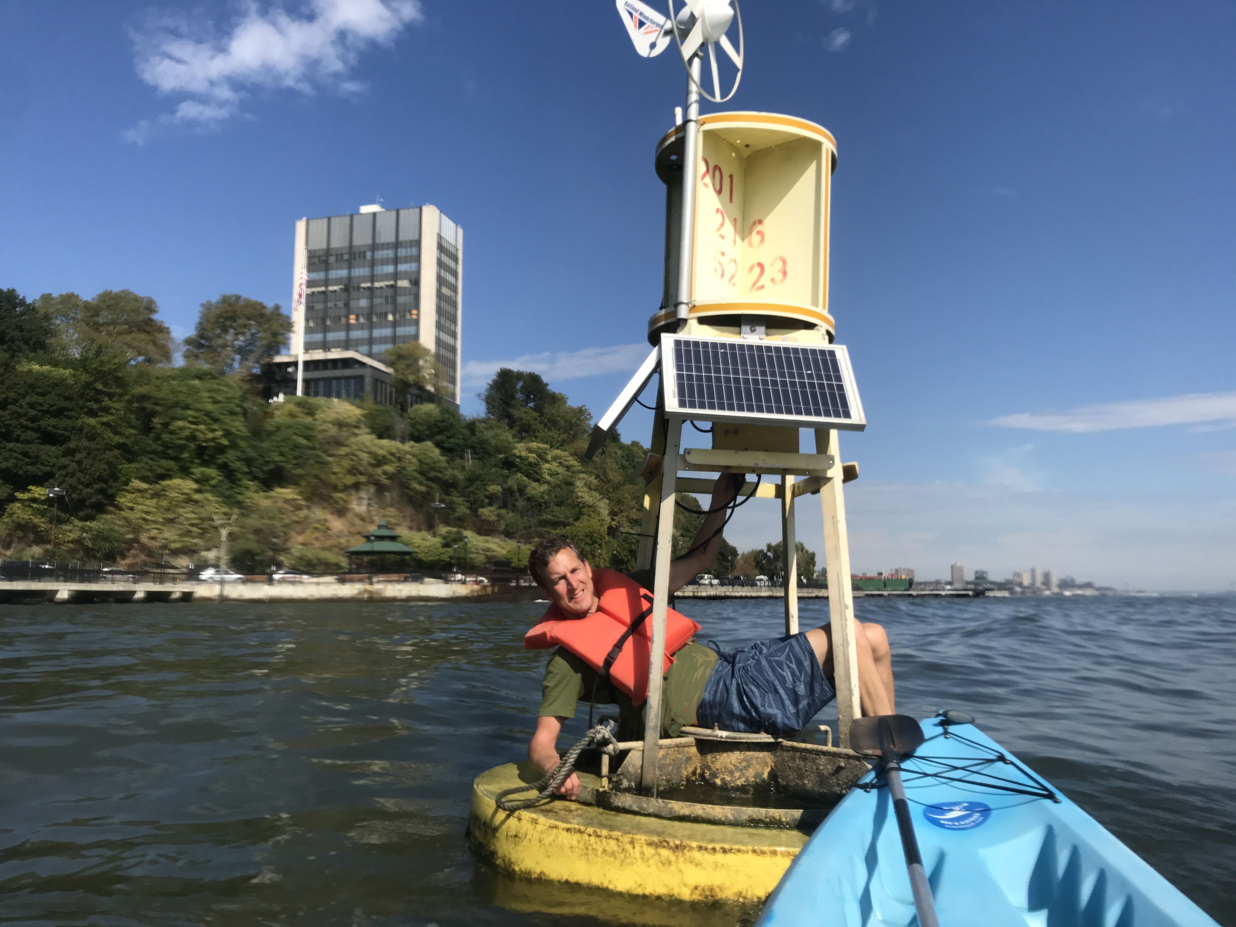
We will create a multi-sensor street coastal flood observation testbed focusing on the most highly populated part of the MARACOOS region, the New York City Metropolitan Area.  Overriding long-term objectives are to (1) deploy both cameras on cross-coastal transects in New York and New Jersey, (2) interact with other observation networks (FloodNet, NJFloodNet and WebCOOS) to co-locate cameras with ultrasonic sensors and innovate and test methods for multi-sensor cross-coastal flood observation systems, and (3) develop Machine-Learning (ML) models to enable data-driven prediction of coastal-pluvial flooding to improve public safety. The effort will fill a critical gap in the MARACOOS observing system where rising flood frequencies are impacting some of the region’s most low-lying neighborhoods.  High-tide or “nuisance” flooding arises from a combination of rainfall and elevated coastal water levels, yet existing observations at tide gauges cannot capture the water levels where people are impacted.  This project will help innovate on-street measurements of flooding and the development of models that can help predict neighborhood flooding along our coasts.

Results

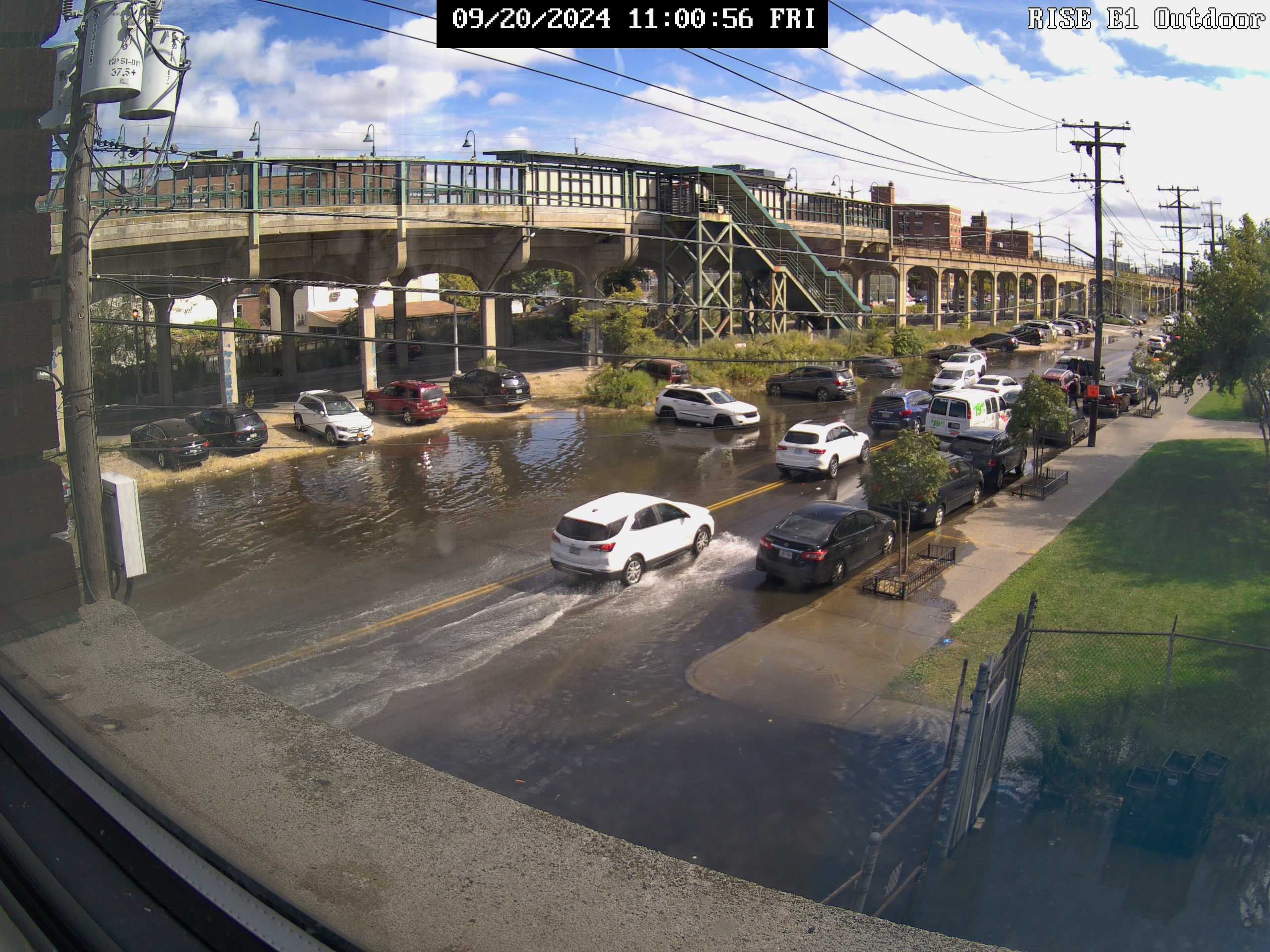
Project-deployed camera observation sites for flooding:

Hoboken live shots

Rockaway Peninsula live shots

Camden camera live shots

Press Release

Leave a comment

Filed under ongoing projects

Assessing Pluvial-Coastal Flood Risk and Potential Climate Inequities in New York City

PI Philip Orton, Co-I Kaijian Liu, Stevens Institute of Technology

Co-I Malgosia Madajewicz, Columbia University

Co-I Greg Smithsimon, Brooklyn College

PhD student: Shima Kasaei, Stevens Institute 

Project manager/ collaborator: John Warner, US Geological Survey

Funding agency/program:  US Geological Survey

Project Period:  September 2022 to August 2025

Recent flood disasters arising from coastal storms (e.g., Harvey and Ida) have demonstrated the critical importance of incorporating rainfall into assessments of coastal flood risk. However, studies of present and future coastal flood risk and adaptation nearly always neglect rainfall and thus have biases that may lead to suboptimal government planning decisions. Climate change is leading to both increasing rainfall intensity and rising coastal floods, worsening these biases and the dangers they represent.

Vulnerability to flooding, which includes exposure, defined as living in an area that may flood, susceptibility to suffer damage if flooding occurs, and capacity to recover, differs across communities with different socio-economic characteristics. Prior research characterizes how vulnerability to flooding driven by coastal storms differs in the population in the urban neighborhoods of New York City (NYC). Vulnerability to nuisance, tidal, and pluvial flooding is much less well documented and understood. Impacts of and therefore vulnerability to nuisance and pluvial flooding can differ from coastal storm flooding. For example, anecdotal evidence suggests that the danger posed to residents of basement apartments can be particularly acute in the case of flash flooding driven by extreme rainfall. Residents of basement apartments are often disadvantaged in many ways, being low-income, from minority racial groups, or recent immigrants. 

In this study, we will combine novel modeling and assessment of compound coastal-pluvial flood hazard with analyses of flood vulnerability in populations with different characteristics around Jamaica Bay, NYC. Innovative hydrodynamic and machine learning (ML) models will be developed and applied for integrated flood modeling for Jamaica Bay, both validated using existing citizen science observations and ultrasonic sensor measurements of street flooding. We will collect and analyze social data through interviews and household surveys to document impacts of and recovery from flooding in neighborhoods that have recently been impacted by pluvial and high-tide flooding and that represent a broad range of natural and built environmental and socio-economic conditions. We will combine investigation of social vulnerability to pluvial and high-tide flooding with existing understanding of social vulnerability to coastal storm flooding in urban neighborhoods, to assess inequities in the burden of flood risk and inform policies that can advance equitable adaptation to flood risk.

Leave a comment

Filed under ongoing projects